Enjoy the simple pleasures of nature during this hike across a pristine winter landscape between La Givrine and Le Vermeilley. SwitzerlandMobility n°984
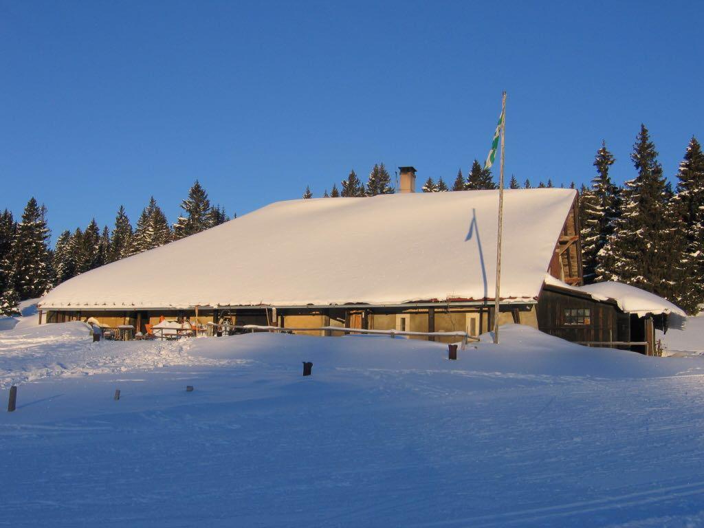
The trek follows a walking and snowshoe route of packed snow for a little more than a kilometre and then enters a forest, taking the path towards the cabin at Carroz. It opens onto a clearing and then heads right to join the cross-country ski track linking La Givrine with Marchairuz. Five hundred metres later on the right is Vermeilley. Take a much-needed rest before heading back. As this is a protected natural site, do not leave the marked track to avoid any additional stress to animal life which is already vulnerable because of the winter conditions.
Duration: 1h30 (one way)
Length: 4.5 km (one way)
Difficulty: easy-medium
Difference in altitude: Ascent 157m / Descending 147m
Highest point: 1345m